Ask Captain Paul
Looking for Sandy Point, Salt Dome
Dear Capt. Paul:
Can you give me the coordinates for the Sandy Point rigs?[…]
Dear Capt. Paul:
Can you give me the coordinates for the Sandy Point rigs?[…]
Dear Capt. Paul:
Could I get the coordinates to the Lump from Grand Isle’s Barataria Pass? If so, about how far is it from the jetty there?[…]

Dear Capt. Paul:
I would like to buy a handheld, battery-operated GPS unit. I would like the capability of being able to load detailed parish/county roads and streets, as well as detailed areas of the Gulf Coast and adjacent inland waterways.[…]
Dear Capt. Paul:
Can I use the property deeds to find property lines with a GPS unit?
Thanks for your answer.[…]
Can a GPS track or predict the direction of a hurricane? For that, the answer is a resounding no, but a GPS receiver can be a very valuable tool in an emergency.[…]
Dear Capt. Paul:
I hope you can help me. I have seen references to Bayou Sue on several fishing reports. It is in the Biloxi Marsh area. It was referred to near the Lake Eugene area, which I think is Lake Eugenie.[…]
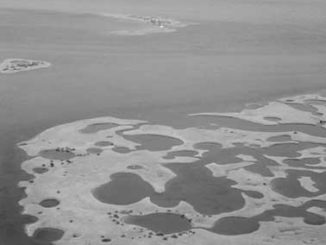
Dear Capt. Paul:
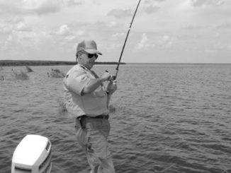
I would like to learn to fish the Sandy Point area. Do you have the GPS coordinates for Sandy Point? Any coordinates would be appreciated.[…]
Capt. Paul:
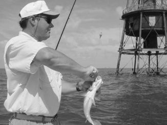
What are the GPS coordinates of the Ship Shoal Lighthouse?[…]

Dear Capt. Paul:
I am a subscriber to the magazine. I would like three locations if posible. I am looking for 5 Wells, Pogo Rig and the Cement Rig.[…]
Dear Capt. Paul:
Do you have a file for Black Bay and Breton Sound? If so, I would greatly appreciate a copy.Also, I noticed on the Mapsource Topo map that there is a rise in the sea floor from about 7 feet to 3 feet to 0 feet about 2.75 miles WSW of the Black Tanks at N 29 30.056, W 89 26.915.[…]

Dear Capt. Paul:
I just purchased a Garmin 176C, and I am trying to hook it to my computer. I have the interface cable hooked to my computer and GPS, but nothing happens. Should an icon come up on the screen? I have the blue chip data card. How does it interface with a computer from GPS?[…]
Dear Capt. Paul:
First, let me say, as a longtime subscriber to Louisiana Sportsman magazine that your articles are the most interesting and informative on GPS topics I have ever read. I can’t wait to get my magazine every month to get the latest and greatest.[…]
Dear Capt. Paul:
Can you give me the GPS coordinates for the artificial reef balls that were placed in Lake Ponchartrain?[…]
Dear Capt. Paul:
I usually fish the marshes around Lafitte, Bayou Segnette and in and around Vermillion Bay and Rockefeller, and would like to know if the Garmin 76s would be a decent marine GPS for my boating needs, or should I save the cash and buy a nice unit like the Garmin 178c?[…]

Dear Capt. Paul:
I would like to get the coordinates for the Motor Vessel Dawn (wreck), also called the Golden Dawn. It is located in the Vermilion blocks in approximately 100 feet of water.[…]
Dear Capt. Paul:
I have looked on several maps but cannot find DuLarge. I read about it all the time in Louisiana Sportsman, but have not yet been able to find out exactly where it is.[…]