

Naturally, if you get lost or stranded and have a GPS unit with you, it can be used to capture your position and forward it to a rescuer.
But suppose you don’t have a unit and there is an emergency?
If you had obtained a position of some of our import locations such as your home, business, etc., you would be able to provide that latitude-longitude position to rescuers.
Well, I said this before but saying it now seems like closing the gate after the horses are out — especially with what happened to many areas that were flooded in the past months.
I suggest you assist responders by providing your locations using your GPS unit now.
As a first responder during many hurricanes in South Louisiana, I have been faced with finding home addresses that have been underwater. Believe me, the landscapes do not look the same when you have to approach by boat — and it’s really different when approached by an aircraft.
Most of my fellow responders and I had working knowledge of the streets. But many of volunteers and National Guardsmen had no idea where the addresses were and, in some cases, did not even know where the streets were located.
Although these volunteers did not have general designations, such as the recent Cajun Navy, they were a welcomed asset to the recovery effort.
A wheelchair-bound friend of mine was stranded in his home that had 4 feet of water in it in one of the rural flooded areas. Before his cell phone died, he had called the sheriff’s office to report his predicament by giving his address.
Later that night, they heard a motor boat in the area and began shouting for help. Waving a small flashlight, they were able to signal a Louisiana Wildlife and Fisheries boat and crew.
Once safely in the boat, they asked how the officers who found them. The response was that they were looking for another home on a different street but, not being from that area, they were having difficulties in finding that address.
This brings me to the heart of this story.
Had the officers been provided a GPS location, they could have easily navigated to my friend. If the homeowner had access to a GPS unit, he could have captured his home or business, etc. and relayed it when reporting his condition.
Most of the Cajun Navy volunteers I saw had GPS units in their boats. Having latitude/longitude positions would make for faster safer rescues.
I suggest that you do what I did and determine important positions using a GPS unit. This could include your home, business, etc. I recommend using a format of degrees, minutes, ten-thousandths of minutes, the format most commonly used.
Next, be sure the datum in the GPS unit is set to WGS 84 and that it is using the Wide Area Augmentation System (WAAS) differential system. These configurations allow you to capture a position that will have an accuracy of 3 meters.
If you have a hand-held unit, simply walk out the front door where there is a clear view of the sky and mark or capture the location. If your GPS is in a boat or a trailer, simply move the rig near the front of the location and capture the position.
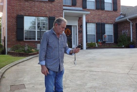
Yes, you can use your cell phone, as there are many free apps that allow you to mark a position with the cellular unit. Remember, however, that the cell phone is only accurate as the standard GPS system, which has an accuracy of 20 meters.
Most cell phones are not capable of receiving the WAAS differential signals. Of course, if that is what you have, use it. It is better than nothing.
Once done, you can search several of the aerial mapping services to get an aerial photo of the location.
I recommend Google Earth (www.google.com/earth/download/gep/agree.html). Once downloaded, you can zoom to the position of interest and print out a copy. This, along with a latitude/longitude value of the location, is an invaluable tool for a responder.
Then take the aerial photo images along with the actual latitude/longitude positions and save them to a computer file, a paper file and in your cell phone/iPad as a photograph and as a note.
The aerial image could be saved in the photo file so it can be sent as an attachment to friends or rescue agencies. Naturally, you would also include the municipal or post office address of the locations in the message, along with your cell phone number.
The aerial view of the location will greatly assist in getting to you by an aircraft.
I don’t save the location as “home:” I save it in a coded name that you would recognize.
I also suggest that it would be beneficial to have a working cell phone and one of those small hand-held LED tactical flashlight that has an automatic SOS blinking feature you can zoom in and out.
You should get a spare battery for the unit. I got my light for about $10.
There are many listed at this link: www.google.com/search?rlz=1T4GGIK_enUS287US287&q=cree+led+flashlight&sa=X&ved=0ahUKEwiptrb-m6TPAhXJFT4KHRhJDpgQ1QIIaygA.
My emergency radio has commercial AM/ FM and weather bands. It has a solar charger and hand crank that can be used to electrically charge the radio, other cell phone and iPads. The radio costs about $50.
You should also consider having some type of marine distress items. Flares and other signaling devices would be a great help. If you have a boat, there should be some on board.
Do your homework in getting the positions and pray that you never have to use it.


