
The Biloxi Marsh area located in St. Bernard Parish encompasses the general area north of the Mississippi River Gulf Outlet (MRGO) Canal to the Mississippi Sound, and from Lake Borgne to Chandeleur Sound. There are several boat launches/bait sites in St. Bernard, New Orleans, St. Tammany and even some along the Mississippi coast, which offer easy access to the area. The entire region is crisscrossed with natural bayous, lagoons, bays, lakes and reefs.
In addition, there are two wildlife management areas: The Breton National Wildlife Refuge, established in 1904, is the second oldest refuge in the NWR system, and is located on and along the Chandeleur barrier islands. The state’s Biloxi Marsh Wildlife Management Area located near the center of this area has hosts a broad range of marsh game and fish species.
A variety of fishing
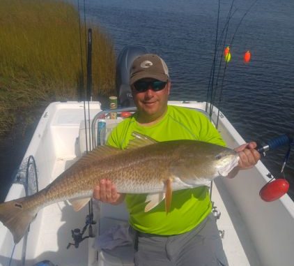
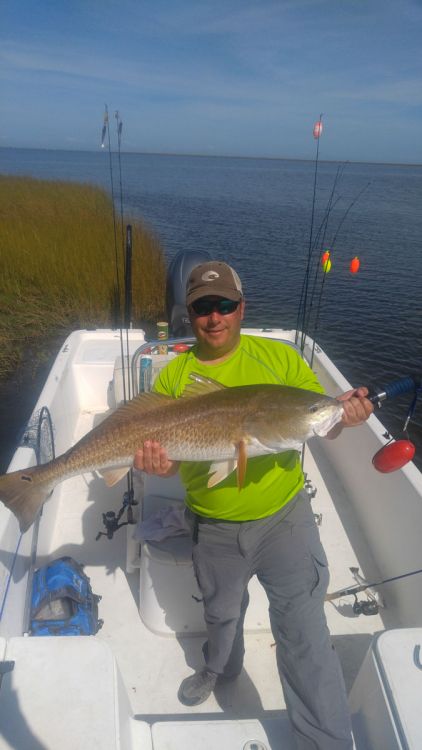
Specks, white trout, reds, flounder, croakers, sheepshead, black drum, triple tails, plus catfish and sharks, are found in various parts of the area. A friend of mine recently caught a pompano deep in the marsh near Lake Eugenie, and another landed a tarpon near Three Mile Pass.
My Fishing Edge of GPS Waypoints for Hopedale ~ MRGO to the Mississippi Sound features over 310 specific locations. It would take several years to fish all of them, as it is an enormous area.
Some of the more common hotspots are the mouth and nearby turns of Bayou Biloxi at Lake Borgne, shown as BYBLX in the Fishing Edge files, at 30°00.0375’N ~ 89°33.4316’W. The turns in the bayou have deeper holes.
Stump Lagoon (STUMP 1) just north of Bayou La Loutre at 29°53.0500’N ~ 89°29.9151’W offers a starting point for the lower part of the WMA. This small cut usually always has moving current.
The bends and cuts in Crooked Bayou (STUMP7), which is northeast of Stump Lagoon at 29°54.2100’N ~ Crooked Bayou (STUMP7) at 89°28.5700’W where the bayou opens to Flabus Bay, offers another choice location.
Continuing on Crooked Bayou leads you to Lake Eugenie, one of the better spots for specks. The remnants of a small island (TROUTSPT) near the eastern side of the lake at 29°54.9649’N ~ 89°25.082’W has been a great location for me. There is a sandy reef just to the southeast where fishing under a cork is almost a sure producer.
In addition, various lagoons such as Pete’s, Cutoff and Biloxi all good fishing locations. And the various bayous that empty into Lake Borgne, such as Grande Bayou, Lakeshore Bayou, Bayou Hasouse (Bayou Sue), Bayou St. Malo, Padre Bayou, False Mouth and Bayou LaFee all offer a respite from Lake Borgne bad weather, and provide great fishing options. Couple those with Grand Pass and Creole Gap and the Mississippi Sound end of the Flatboat Key Reef (FLTKEY) by Isle Au Pitre @ 30°09.0517’N ~ 89°13.4879’W and you have some great spots to try in the northern part of the area. Deadman Island in Eloi Bay (DEADMN) at 29°44.1201’N ~ 89°21.1632’W, with its hard sand area on the south side, and locations in and around Morgan Harbor and Comfort Island, are great locations on the eastern edge.
All of these positions were determined using WAS 84 Datum, and are stated as degrees, minutes and ten-thousandths of minutes. (DDD,MM.mmmm)
As you know, GPS waypoints can now be electronically installed in most GPS units. This feature allows the user to install a tremendous amount of data in just a few minutes.
Each Edge location features an electronic data file that can be downloaded into a variety of GPS brand units. All of the EDGE programs are sent as an email attachment to your computer. This data download enters all of Captain Paul’s waypoints into the unit in a matter of seconds. To help those of us who are not computer savvy, each download has a general map of the area in 1:100,000 scale, as well as information on each waypoint. These map images cannot be installed in the GPS unit, but offer a location of the waypoints and their descriptions, as well as a READ ME and INSTRUCTIONS file. Latitude~longitude value of the waypoints, and in some instances a “How to Fish” the location, are also provided.
Order your Fishing Edge
I started Captain Paul’s Fishing Edge because I believe it give the fisherman an advantage in getting to, finding fishing spots, moving around and getting back from some of the top areas in the state.
Presently, Captain Paul’s Fishing Edge is available for 21 areas statewide, including hotspots like Barataria Bay, Delacroix, Lake Pontchartrain, Leeville, Calcasieu Lake, Vermilion Bay and many more.
I always suggest that you have a reliable compass and a map of the area whenever you venture outdoors.
To order a specific Edge file, you must have an email address that accepts attachments. Go to Louisiana Sportsman’s Sportsman Store (www.sportsmangear.com) and select the location you’re interested in. Remember, your order must include the brand of your GPS unit, your email address and the selected area. (Edge files are NOT interchangeable, so make sure you enter your correct GPS brand.)
Captain Paul’s Fishing Edge will definitely give you an edge in navigating and fishing the Biloxi Marsh.
")