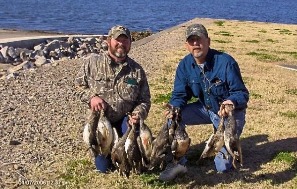
The Ouachita River itself offers some good duck hunting in many of its backwaters, but there is a collection of publicly managed federal refuges and state wildlife management areas within a short drive of Monroe that would make any hunter green with envy.
Each has its own particulars, but their proximity allows Chance Havard and his hunting buddies to jump from one to the other as they follow the ducks. Here are some of his favorites, with directions to each and Web addresses for additional information.
• D’Arbonne National Wildlife Refuge is located in Ouachita and Union parishes on either side of Bayou D’Arbonne near its confluence with the Ouachita River. Take White’s Ferry Road (Highway 143) north out of West Monroe. This highway forms the eastern refuge boundary, and there are seven access points with parking lots along the highway.
The refuge complex headquarters is located approximately seven miles north of West Monroe at the intersection of Highway 143 and Holland’s Bluff Road.
Consult the brochure map for many access points. Visit www.fws.gov/darbonne for more information, and find a map at www.fws.gov/darbonne/darbonne_map.html.
• Upper Ouachita National Wildlife Refuge does not have a visitor center, but many points of access are available.
Access Finch Bayou Recreation area and the scenic River Road on the west side of the refuge by way of state Highway 143. From Haile, turn east on Hooker Hole Road. Drive four miles and turn north onto River Road.
Visitors can access the east side of the refuge in Morehouse Parish by way of Bastrop. From Highway 425, turn onto Bonner Ferry Road (Highway 593). Turn left onto Cave Off Road and then right onto Prairie DeButte Road. At the end of the road, turn left onto Stevenson Road and drive straight through into the refuge.
For more access points onto the refuge, refer to a refuge brochure. Refuge headquarters are located on D’Arbonne NWR. Visit www.fws.gov/upperouachita for more information and www.fws.gov/upperouachita/up_ouachita_map.html for a map.
• Ouachita Wildlife Management Area is located in southeast Ouachita Parish approximately six miles southeast of Monroe. It is bordered on the north by the Russell Sage Wildlife Management Area and on the east by Bayou LaFourche. Louisiana Highway 15 crosses the northern portion of the management area. Visit www.wlf.louisiana.gov/wma/2779 for more information and a map.
• Russell Sage Wildlife Management Area is located in Morehouse, Ouachita and Richland parishes approximately seven miles east of Monroe and 10 miles west of Rayville.
Access is provided by U.S. Highway 80 and Interstate 20, which bisect the area. Interior, all-weather roads are maintained by the department.
Visit www.wlf.louisiana.gov/wma/2777 for more information and a map.
• Boeuf Wildlife Management Area is located in Caldwell and Catahoula parishes 10 miles southeast of Columbia. Major routes to the area are Louisiana Highways 4, 559, 133 and 848. Parish roads provide access to the interior from the north, south and west, with Boeuf River providing boat access along the eastern boundary.
There is a system of unimproved roads and trails but four-wheel-drive vehicles or ATVs are necessary during wet periods.
Visit www.wlf.louisiana.gov/wma/32649 for more information and a map.