Dear Capt. Paul:
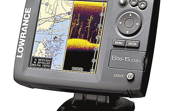
I have two questions. One, I leave my boat in a hoist but remove my Lowrance Elite 5 DSI GPS unit. Is there anything out there I can use to cover the transducer plug that goes into the GPS in order to keep it protected?
Also what is a good program with which I can view tracks on the computer?
Capt. Paul’s response:
Get a small tube of die-electric grease from a marine or auto store. It is usually in the ignition parts section of the store, and may go under the brand name of NO-OX, Corrosion Proof, or such similar name. It is sold in a small tube for about $5.
Put a coating of this grease on the connecting pins on the power cable, then place the cable connection end in a small Ziploc-type bag with a rubber band around the bag. Place it in a way that water would not run into the bag.
The Lowrance GPS Data Manager (GDM-6) is available as a free download from the Lowrance website. It will allow you to import the waypoint, route and track data from the GPS to a spare data card and into your computer. The images of this data should show up as overlays on a primitive map that is in the GDM program.
For more sophisticated viewing, you could connect the data card to a program that I use called, “MY TOPO.” This is a mapping program that includes all USGS official topographical maps in scales of 1:24,000, 1:100,000 and 1:250,000. It also has aerial ortho photos in 1:12,000 scale. The program can connect either by cable or via memory cards to more than 60 different models of GPS units, including the Lowrance line.
It is the mapping program that I use for all coastal marsh and inland plots of positions. You can select the type of track, its color and highlighting in order to distinguish it from other tracks. Although the mapping images themselves cannot be downloaded into a GPS unit as an internal map, the MY TOPO software is one of the most complete mapping programs that I have found for saving, viewing and downloading such data info. Naturally, the images and data can be printed on a standard computer for carrying with you when you are on the water.
In addition, the GDM files can be converted to a Google Earth program that will let you view the info in that program. These images, however, are not corrected ortho images, and some discrepancies may occur.