Deer numbers are getting too high on these productive WMAs, and the LDWF wants your assistance to thin them out.
If you have an emergency position indicating radio beacon (EPIRB) for your boat and it’s old, you need to take a quick look at it. EPIRB’s that operate on 121.5 mHz or 243 mHz will become paperweights after February 1, 2009. The search and rescue satellite aided tracking (SARSAT) satellites will not process those frequencies after that date.
The move to change EPIRBs and personal locator beacons (PLBs) over to 406 mHz has been under way since 1999, but the new frequency is only one of several improvements to the system. New 406 mHz units have 5 watts of transmitter output power, making them much more likely to be received under difficult conditions than the 0.1-watt output of older models. And coverage of the COSPAS-SARSAT system is now global instead of covering only two-thirds of the earth.
The older transmitters sometimes only limited a search area to 500 square miles. New units not equipped to send your GPS coordinates still give the satellites an accurate enough position to limit a search to just 25 square miles. A new 406 mHz unit connected to an operating GPS receiver at the time of the emergency, or a unit with a GPS receiver built in, usually limit the search to within 300 feet!
New EPIRBs and PLBs transmit an I.D. number that is matched to your registration information during the rescue process. The information gives the responding team your name, a description of your boat and a telephone number that can be checked to make sure the unit hasn’t been accidentally triggered. This reduces the likelihood that the nearest rescue crew will be out chasing a false alarm when you actually need them.
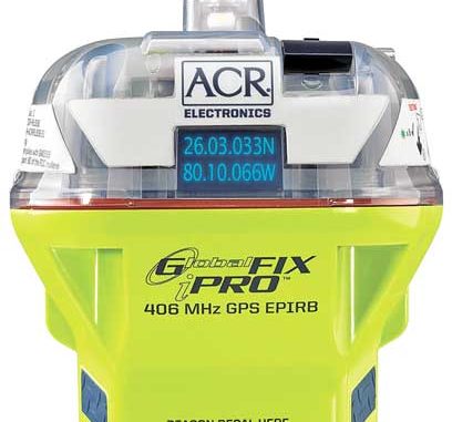
When you activate a beacon with GPS capability, the first thing it does is find your position and add your coordinates to its emergency message. It then begins broadcasting your alert to two satellite constellations.
The closest is the Low Earth Orbit Search and Rescue (LEOSAR) system consisting of two Russian satellites about 621 miles up and two U.S. satellites about 528 miles above the earth. The four satellites are in north/south polar orbits meaning that they pass over the north and south poles in orbits spread far enough apart to cover the whole planet. Each orbit takes about 100 minutes, and each satellite stays in view from a point on the earth’s surface for about 15 minutes. LEOSAR satellites use Doppler Shift technology to fix your beacon’s position, and that can take more than one pass to get the job done.
Your alert message reaches the second satellite system instantly, the geostationary search and rescue (GEOSAR) constellation of three satellites in orbit over the equator. Geostationary means that they are matching the earth’s speed of rotation and appear to be stationary overhead. The GEOSAR satellites are spaced evenly around the equator so they can “see” the entire planet.
Both satellite systems pass your emergency message to a local user terminal on the ground that forwards it to the appropriate mission-control center. The center adds your registration information, and sends your message on to the rescue coordination center.
Here, who you are, where you are and what your boat looks like are all put together and passed on to the emergency rescue agency closest to your position. The rescuers head straight for your Doppler-estimated position or (better yet) to your GPS coordinates, and then zero-in on your beacon transmissions.
So if you have an old EPIRB, check its frequency and replace it if necessary. If you don’t have an EPIRB or a PLB on your boat, this would be a great time to consider getting one.
For more information on the international rescue network, visit cospas-sarsat.org. To learn about EPIRBS and PLBs, visit acrelectronics.com.
")

