Now that it’s almost summer and school is out, are your kids driving you crazy whining that they’re bored? If so, take them geocaching. Geocaching is a type of treasure hunt where the prize is located at a specific geographical coordinate that you find with your smart phone.
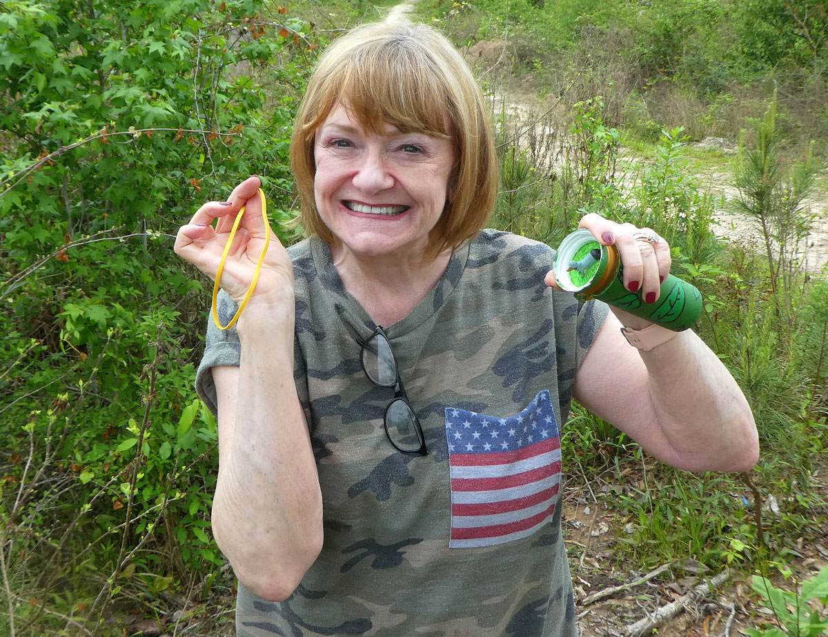
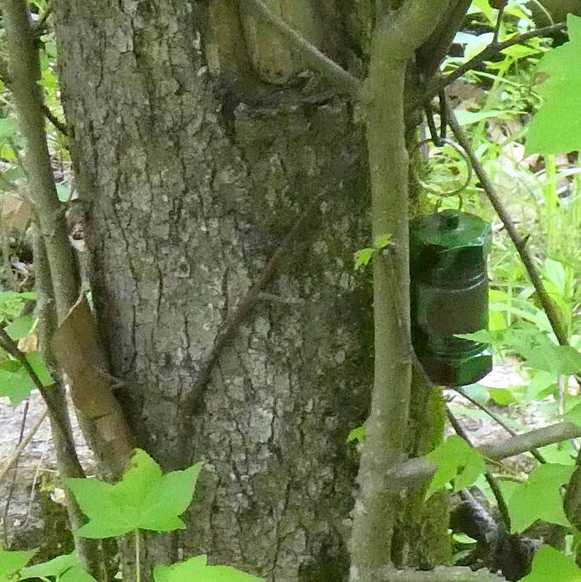
Participants hide a small container (such as a pill bottle) called a cache somewhere on a state park or other public land. Inside the cache are trinkets and a piece of paper that serves as a logbook. When you find the cache, sign and date the logbook to prove you were there and take (and leave) a trinket. It’s also fun to take a selfie.
Geocaching is a fun activity to get some exercise, explore new areas and enjoy the outdoors. It is a particularly good way to let your kids burn off some energy when on long driving trips. Just look up geocaches along your route, stop and let them search for a while.
To participate in geocaching, log on to the website at www.geocaching.com with your smart phone and create a free account. Then type in an area you want to search, and a map will appear that shows the location of the geocaches. Clicking on the cache will reveal its geographical coordinates.
A blue dot
The cache will be visible as a blue dot on a map on your phone, along with its direction and distance from your location. The distance will count down, and when you get close to the cache, the phone will vibrate. Then it’s a matter of finding it.
The caches are hidden, but no trespassing or digging is necessary to find them. Popular hiding spots are behind stumps, trees and logs or under a bush.
Many people who post caches on the website also include a hint as to where they can be found. The hint is written in a simple code that is easy and fun to decipher. A typical hint may read, “pill bottle behind stump.”
Oftentimes, there will be several caches along one walking trail. Make sure to bring a pencil and notebook with you so you can access the hints on your phone and decipher them as you walk the trail.
Be sure to return the cache to its original location after you have signed the logbook.
It’s a good idea to spray your feet and legs with bug spray before heading out because finding a geocache often requires tromping through the weeds. Bring a walking stick, as well, to make sure there are no snakes before reaching down for the cache.
Sharing successes
After discovering the geocache, you can log onto the website and tell of your adventure and enjoy reading other people’s stories.
Reading the comments can also be helpful before setting out on a search. Sometimes caches may be removed or destroyed, so make sure someone has found the cache recently.
Sam Houston Jones State Park north of Lake Charles is a great place to geocache. The 1.6-mile River Walk Trail has about a dozen caches evenly spread out along the way.
Named for our 46th governor, the 1,087-acre park has mixed pine and hardwood forests and abundant wildlife. The five hiking trails are particularly popular for birdwatching, and two boat ramps provide fishing opportunities on the West Fork of the Calcasieu River.
The park also has cabins, a lodge for housing large groups, glamping tents and premium camp sites and RV hookups with electrical, sewer and water service. There are also restrooms with shower facilities.

 served as the capital of Spanish colonial Texas from 1721 to 1773. (Photo courtesy Explore Louisiana)")