Gauges now at 65 sites across Louisiana
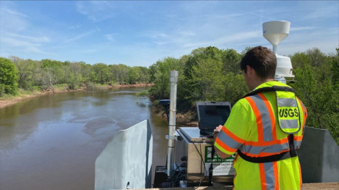
The Louisiana Watershed Initiative’s (LWI) partners have installed river and rain gauges at 65 of the 100 proposed sites for LWI’s $15 million statewide gauge network expansion. This network will enhance monitoring of river and rainfall information throughout the state.
LDWF is one of five coordinating agencies involved in the LWI, and staff assisted with site selection for new river gauges across Louisiana. LWI partners selected the sites based on rigorous scientific analysis and input from local stakeholders on areas where additional gauges are needed.
LDWF biologists and many of the department’s user groups, such as anglers and paddlers, will benefit from an expanded network of river gauges to improve their experience on the water and alert them to unsafe conditions.
Most of the gauge network sites include both river and rain gauges to collect surface water and precipitation data. Water quality data will also be collected at certain locations. Rainfall and river height data are available immediately upon installation. Discharge, also called streamflow, data is available 12 to 18 months after installation.
The Louisiana Department of Environmental Quality and U.S. Geological Survey signed a cooperative endeavor agreement with the state in 2021 to install gauges at 100 sites throughout Louisiana, using federal flood mitigation funding.
Once the network is fully installed, LWI will pursue partnerships with local, regional and state agencies to develop plans for long-term operations and maintenance of the gauges.
For more information on the gauge network and LWI’s data and modeling efforts, click here.
Current and historic river conditions and lake levels may be viewed here.
River forecasts based on flow data and rainfall can be viewed here.


