
Dear Capt. Paul:
I recently bought a used Garmin GPSMAP handheld to use in my kayak so that I can find my way into and out of the marches, as I fly fish. It came with the old BlueChart MicroSD data card for the Mobile to Lake Charles area that is dated July 2008. Would I be wise to upgrade to the new BlueChart G2 chip, or what other mapping programs are available for the unit?
Thanks!
Capt. Paul’s response:
I know that you already have purchased your GPS unit, but for our other readers I can offer a few suggestions for a GPS unit and the mapping that I would use in the unit when kayak fishing.
I suggest that the unit be a handheld unit, and it should above all have at least a weather proof protection to IPX-7 standards (meaning it can be submersed one meter underwater for 30 minutes without affecting the unit’s operation).
Then consideration should be given to a standard that allows the unit to float. This feature, however, can be overcome by using the IPX-7 standard unit in a floating case or container, or simply attached via a lanyard to the body of your kayak. There are many aftermarket floating cases that could accommodate your requirements if you really want a floating unit.
After the weather-proofing feature, the next required consideration should be that it has bright, color screens that can be viewed in daylight, and that the unit can accommodate modern mapping programs.
The mapping feature is an almost necessity for such a unit, as it will allow you use the unit to supplement your existing hard-copy maps. In addition, many of the current units can be purchased with a built-in compass and barometer, along with a camera.
While additional “sensor” features are really neat, they should NOT take the place of a hard-copy map and compass. Remember that the GPS unit is an electronic device that can, as any other machine can, fail to operate at one time or another. Having a set of spare batteries and back-up devices as a separate compass and map is an absolute must.
As for mapping in your Garmin GPSMAP unit, you should note that the Garmin BlueChart G2 is Garmin’s latest chart type of mapping. It is surpassed only by the G2 VISION, which has ortho aerial photo maps as well as the latest marine charts. Some units cannot use the newer Vision version, so be sure that you get the proper mapping for your particular unit. Remember, however, that the old and the new BlueChart maps are based on NOAA Marine Charts.
These NOAA charts are the best in the world for depicting the locations of aids to navigation (NAVAIDS), such as daylights, nuns, buoys, lights and markers along established, usually commercial waterways. They are certainly an essential tool when navigating the open sea waters, and when entering and using the marked waterways, as the U.S. Coast Guard has established procedures for updating information on these NAVAIDS so they are included in the latest chart revisions.
But, it is these charts and the revisions that I question when using this mapping in the Louisiana marshes.
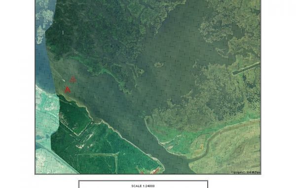
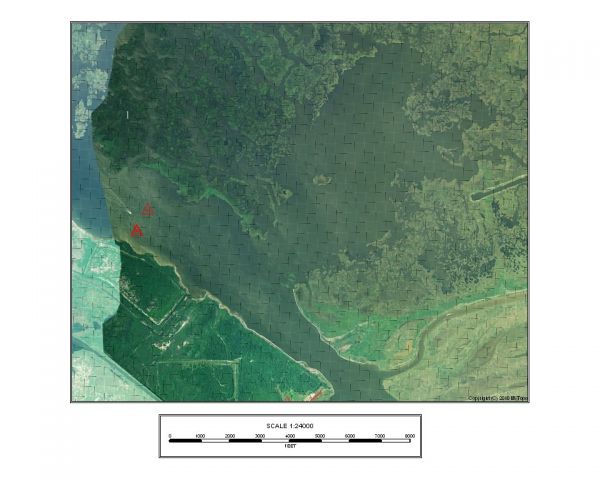
I have some currently issued charts dated 2010 and 2011 of some areas in the southern Louisiana marsh that have features shown on the charts that have not been visible for the last 30 years. The NAVAIDS were updated, but the actual topographical information of the charts have not been updated. They simply do not show all of the bayous, creeks, lagoons, bays, lakes and canals that make up the myriad features in the Louisiana marshes. The 1:80,000 scale of most of the charts simply does not offer the details needed to fish the marshes.
I am a firm believer that, although they were designed to show land features, USGS topographical maps offer more detail of the land and water features that make up our marshes.
So what is a body to do?
I suggest that you first consider Garmin’s latest topographical mapping program they call TOPO U.S. 24K. Or, if you already have a different brand of GPS unit, you should use that manufacturer’s topographical-based mapping program.
The Garmin TOPO U.S. 24K program is available in a variety of format cards, including the microSD format and as a download. It is sold by Garmin by regions. The TOPO U.S. 24K — Southeast includes topographic coverage of Louisiana, Mississippi, Alabama, Georgia and Florida, and sells from Garmin for $99.
These topographic-type maps have contour rings, as well as names for most of the features in the area of coverage. They do not cover offshore areas, as they are based on USGS “quad” or “topo” coverage that does not have land maps for such offshore features. Generally they cover a position that is about three to five miles from the shoreline, depending how the layout of the shoreline is at that point.
I believe they are ideal for inshore marsh fishing. They show the land and water features, and are in a detail that depicts the actual topography as it is actually viewed.
Of course, you must realize that the Louisiana marsh is a living estuary that is constantly changing with storms, sediments and even other prevailing weather conditions. These latest conditions may not always be included in any map that you find other than an up-to-date, real-time satellite image.
Even though these topo type maps might not show all the current features, they show where land WAS. A body of water that appears as all open water might only be shallow water. But the topo map will show where the water was once located.
These maps let you navigate and find the deeper water that might have fishing opportunities.
Garmin has many handheld units that can use this mapping program along with their BIRDSEYE photo-type mapping that is purchased as a downloaded subscription. The BirdsEye is downloaded in relatively small sections of coverage, and is usually a concern for many power boaters in that they could “run off of the map,” but someone using a kayak or traveling on foot would usually have enough coverage to accommodate a walking or paddling trip.
Go to a Garmin dealer and ask to see their new BlueChart, their U.S. TOPO 24K and the BirdsEye mapping programs. Pick out several areas that you might fish and configure the map to see the mapping details of that area. Then zoom in to a very detailed setting and compare the different types of mapping.
The Garmin Web site (www.garmin.com) has a listing of all of these different types of mapping, and in some cases you can actually see a portion of the map on your computer.
Look them over, and then visit the Garmin dealer and make an intelligent choice of what GPS unit and mapping is best for your type of fishing.
Capt. Paul
")

