It borders the road to rich Louisiana history, fishing and folklore
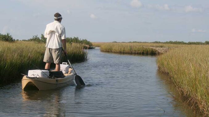
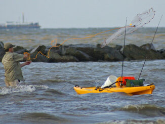
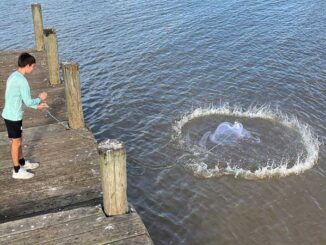
Grand Isle is Louisiana’s only occupied barrier island, and it is surrounded by both incredible fishing and rich history. The only way to drive to the “big island” is by way of Highway 1, and it allows fishermen to access the area’s bountiful waters by either fishing from the bank or launching a kayak.
Fishermen start to salivate when they get to Golden Meadow, about 30 miles from Grand Isle. Benjamin and Louisa Barker, of Illinois, received a land grant there in 1839 and named it Golden Meadow for the beautiful yellow flowers they found growing throughout the region.
The Barkers hoped to get rich by selling lots to other settlers but their scheme largely failed. The name they chose, however, lives on.
From Golden Meadow to Fourchon, Highway 1 runs along Bayou Lafourche, which the French originally called La Fourche des Chetimaches. Lafourche is the French word for “fork” and was a reference to the fork, or split, in the Mississippi River at modern-day Donaldsonville where Bayou Lafourche diverges to the south.
The Chitimacha Indians lived along Bayou Lafourche, so La Fourche des Chetimaches meant “the fork of the Chitimachas.” However, after some Chitimachas killed four Frenchmen in 1706, the French retaliated and nearly wiped out the entire tribe. This led to the bayou’s name being shortened to just LaFourche.
Interestingly, the Chitimacha people managed to survive and still live in their historic homeland.
Down the road from Golden Meadow is Leeville, a town that owes its origin to an 1893 hurricane that killed 2,000 people in Louisiana and Mississippi. One of the hardest hit areas was Cheniere Caminada, which is Grand Isle’s western neighbor.
Survivors of the storm relocated to the northwest and founded a new town they originally called Orange City. Later, the name was changed to Leeville in honor of Pierre Charles and Rosalie Lee.
One of the most popular places to surf fish around Grand Isle is Elmer’s Island Wildlife Refuge, which can be accessed from Highway 1. It was originally known as Goat Island, but a dentist named W. J. Elmer bought the property in 1949 to serve as his private fishing spot. After Dr. Elmer opened up his property to campers and fishermen, locals began referring to it as Elmer’s Island.
The last leg of Highway 1 to Grand Isle passes through Cheniere Caminada and over Caminada Pass. They, along with Caminada Bay, are named for Francisco Caminada. When Spain owned Louisiana in the 1700s, Caminada bought the cheniere from its original land owner and named it for himself.
Before long, a town known as Caminadaville sprang up. It was separated from Grand Isle by a narrow pass the locals dubbed “the spit” because one could almost spit across it. Eventually, this “spit” widened and became known as Caminada Pass.
Grand Isle State Park
Those who fish around Grand Isle can stay at the Grand Isle State Park. Hurricane Ida devastated the area in 2021, but, fortunately, the state park was able to reopen last year.
The park has 49 pull-through premium camping spots with water and electricity service that can accommodate both RVs and tents, and one of those sites is ADA compliant. There is also one glamping tent and 14 primitive camping sites on the beach.
Ida destroyed the park’s fishing pier and it has not yet been rebuilt, but visitors can still enjoy fishing from the beach.


