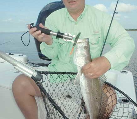
The corners of the state will be hotspots this year, but the areas in between will certainly hold their own.
Dear Capt. Paul:
I’m looking for the cordinates to the new or referbished reef that is at or around Redfish Point in Vermilion Bay.I know you just released your Fishing Edge for the Vermilion Bay area, but I have an Eagle Cuda 240 fish finder and GPS in one, and it cannot be hooked to the computer.
Is there a way to get the Fishing Edge for my set up.
Thanks in advance, John Landry
Capt. Paul’s response:
There are several artificial reefs in the Vermilion Bay area. For a complete listing of all of the reefs, go to the Louisiana Wildlife and Fisheries web site at www.wlf.state.la.us/ Navigate to their Fishing Info button, then the Programs button, then the Habitat button to the Artificial Reef Program button, or cut and paste the following URL in the address window of your browser: www.wlf.state.la.us/fishing/programs/habitat/viewdata.cfm
The Vermilion area, Redfish Point Reef is indicated as being at N29º40’37 x W92º 07’ 05.
Some of the others in the area that may interest you are:
• Vermilion area, Cypremort Point — N29º43’20” x W91º52’22”
• Cote Blanche area, Nickel Reef — N29º25’10” x W91º42’ 27”
• Cote Blanche area, Rabbit Island No. 1 — N29º25’37” x W91º42’27”
• Cote Blanche area, Rabbit Island No. 2 — N29º30’34” x W91º33’ 52”
In addition, there are numerous reefs and shoals between Southwest and Lighthouse points in the Southwest Pass area. Check out NOAA chart 11349-Vermillion Bay and Approaches for these reefs.
Please note that the LDWF sites are listed in DDD,MM,SS format, and were determined using NAD 27 datum. If your GPS is set up with a different datum or position format, you will have to convert this data to that used in your unit or change the internal settings in your unit to the NAD 27 and H,DDD,MM,SS.s settings.
I am sorry, but unless you can connect your GPS unit to a computer with a data handler or mapping program installed, you would not get the full benefits of the Capt. Paul’s Fishing Edge program.
Naturally you can order the program and get all of the data in a written form, but the big advantage of the Edge program is the ability to download the data almost instantly into your GPS unit. The Edge comes with a spreadsheet of the waypoints and an Acrobat .pdf file of a map of the general area along with the descriptions, but you would have to manually enter the data into the GPS unit one at a time.
Within the time that you would need to manually enter two such Edge positions, you could have downloaded more than 200 Edge positions from an Edge file.

")
