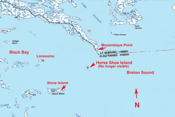
The island isn’t there anymore, but the fish might be
Dear Capt. Paul:
An old timer once told me about a small island somewhere in Black Bay south of Mozambique Point by Breton Sound called Horseshoe Island. Try as I can, I cannot find anything on the island. Can you help?
Bert S.
Capt. Paul’s response:
I hope that this is helpful, but it must have been an old timer because there was, note I said “was,” an island where you described it to be, but “it ain’t there no more.”
Finding the Horseshoe Island was the inspiration of me designing the Captain Paul’s Fishing Edge programs. It is by the way shown as Fish 04, Fish 04a and Fish 05 in the Delacroix to Point a la Hache Edge package.
A friend asked me in 1990 to locate Horseshoe Island. He said his dad used to fish the location with fantastic results. He described the small horse shoe island as being about a mile and a half (1.5) south southwest of Mozambique Point in Black Bay.
After scouring old United States Geological Survey (USGS) Topographic (TOPO) maps, I was able to locate the very small island. I plotted the location and gave them to him. He was so excited that he asked me to plot several more locations in the area that were no longer visible above the water. This led me to finding and plotting numerous other locations. Upon receiving the information, he suggested that I market the product, which I did. The first versions were laminated letter size maps of the area with all of the waypoints listed on the rear. This has ultimately evolved to Edge program which has the waypoints written as a data transfer program for your GPS unit. Of course, the Edge Files still have a rough map and listed waypoints in a .pdf, type for those of you who would like to manually put in all of the many, many waypoints.
The small island called Horseshoe was located in the eastern part of Black Bay by the Breton Sound about 1.25 miles at a bearing of 215° Mag from the Aid to Navigation light Red No. 2 by Mozambique Point.
It was also about 2.7 miles at a bearing of 54° from the east end of Stone Island.
The northern end of a rough horse shoe design, I plotted as Fish 04 at or about 29° 36.3001’N. Latitude ~ 89° 29.8600’ W. Longitude
The center of the bend of the small island I marked Fish 04a at or about 29° 36.1450’N. Latitude ~ 89° 30.0559’W. Longitude.
And, I plotted the southern end of the island, marked is Fish 05 at or about 29° 35.9802’N. Latitude ~ 89° 29.7802’W. Longitude.
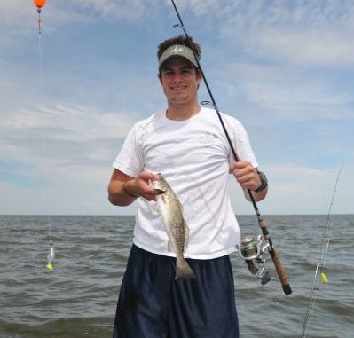
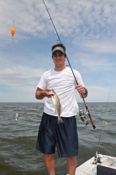
I did visit the site in my boat at a later time and found just an irregular bottom surface of the 5 foot deep water in that area. We caught some fish there, but there were also diving sea birds in that area. I could not tell if the fish were there because of the bottom of if or if it was just a random encounter.
If you visit the site, keep an eye on the weather as it is now all open water. Use your depth finder and if you are able to locate the irregular bottom, mark it with your GPS unit as a waypoint. Give it a try and please let me know how you make out.
Unless otherwise specified, all positions are stated as Degrees, minutes and thousandths of minutes (DDD,MM.mmmm) and were determined using WGS 84 Datum. All bearings and courses are stated in Magnetic degrees.
Keep safe,
Capt. Paul
