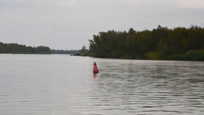
The Red River system has lots of bass —and it has big bass. Catching fish isn’t the biggest challenge that visiting anglers face. It’s navigation.
The colossal floods of 2015 and 2016 changed the face of what was rapidly becoming one of Louisiana’s favorite largemouth bass holes. Swift currents deposited massive amounts of sediment in once-deep spots, and toppled man-made rock walls.
Ever the no-nonsense communicator, Trent Toups put it directly. “You don’t want to come over here and run this like you run your lake. And you don’t want to run this river the way it used to be. You’ll tear your stuff up or beach your boat.”
“There are some real good maps of what used to be, but nothing shows what is now” added King. “You still need to use your electronic maps, but you have to remember that their accuracy is limited.”
“That’s because everything is so recent that nothing is updated,” Toups explained. “It’s not really dangerous here if you are careful. Don’t go running wide-ass open, though.”
“Use extreme caution until you learn it,” agreed King. “Or better yet, hire a guide the first time you come here.”
One particular hazard is toppled wing walls. Originally constructed by the Corps, they are essentially barriers of large rocks that extend from the river’s banks toward its center channel to deflect water currents to the center of the river and control sediment deposits.
Intact wing walls are 5 or 6 feet above the water’s surface and are easily visible (and are good fishing locations during some seasons). Unfortunately, river currents became strong enough during the floods to topple some wing walls to either beneath the water level, or barely visible above it.
Normal navigational buoys mark the barge channel in the river. The buoys also locate the wing walls that are dangerously near the surface, but not visible.
“Never run between a buoy and the shore,” said King gravely, while shaking his head for emphasis.
In spite of their limitations, electronic maps are still very important for understanding the Red River system. What were once obvious shorelines have been submerged by the river’s impounded waters so that large areas appear to the naked eye as a simple sheet of water.
But bass still relate to the submerged structure. Perfect examples are some of King’s favorite bass habitats, the banks of old oxbow lakes that the dammed water of the Red River have drowned.
Shallower than surrounding waters and with firm bottoms, they draw bass like magnets, but are very difficult to locate without the use of electronic maps to pinpoint the oxbows’ locations.