Long gone are the days when creek fishermen could just schlep across any property not holding posted signs to fish their favorite creek.
First came hunting clubs that obsessively and jealously guarded their deer playgrounds with posted signs. After all, no one wants to hunt a deer in November that some hapless fisherman disturbed in July.
Then the Louisiana Legislature, in all its wisdom, decreed that all private property — even that without posted signs — was legally posted and that trespassers could be chunked in the hoosegow.
But Jesh Smith said creek fishermen have some options if they do a little research.
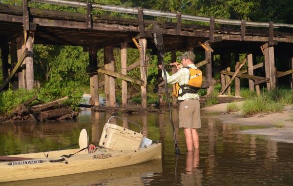
“State highway bridge rights-of-way are best,” Smith said. “I don’t deal with parish bridges; they are an opportunity for trouble because they don’t have the rights-of-way that state bridges do.
“There are more state bridges than parish bridges, anyway. The Ouiska Chitto has six on it.”
Smith also encouraged fishermen not to overlook canoe businesses. Many of them offer access for a fee, and some even offer a shuttle service.
Not to be overlooked are access points in Kisatchie National Forest and other public lands.
He recommended Bing.com and Google Earth as good electronic sites for finding access points, as well as for planning trips.
“I calculate my trips based on floating about a mile an hour,” Smith said. “I’ve done 18-mile floats, but often do half-day floats of three-and-a-half to four hours.