Preserving barrier islands proving difficult
It’s a rather simple matter to underestimate the worth of Louisiana’s barrier islands. When the freshwater river flow slacks off a bit and shrimp are able inch closer to the coastline, barrier islands attract anglers and guides like moths to a flame.
And then, for coastal residents — even those who have never been in a boat — barrier islands serve as a defense against the Gulf of Mexico’s elements, pushed most aggressively ashore by tropical storms and hurricanes. The same chunks of land that provide sometimes easy access to flounder, redfish and trout also break up the violent waves and wind before they reach inland.
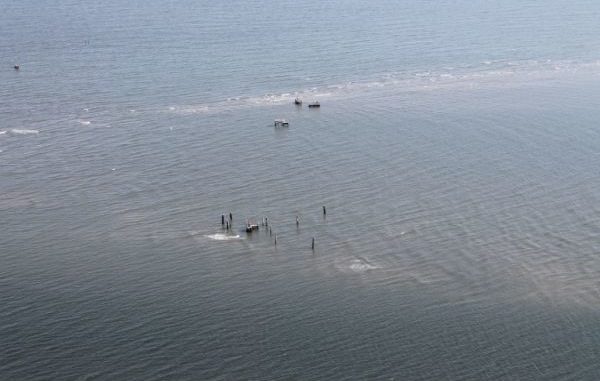
Yet, for all their value, barriers islands are becoming increasingly difficult to hold onto and protect, as Louisiana officials are learning. Despite projects to rock it off and pump in sand, the Timbalier Islands have pretty much disappeared. Work on the Chandeleur Islands has been equally as challenging, and flooding on Grand Isle continues to be intense depending on the storm event.
The grim reality grows heavier when the issue is viewed from overhead on s larger scale.
“Louisiana’s barrier islands are eroding so quickly that, according to some estimates, they will disappear by the end of this century,” said Dr. Jeffrey H. List of the U.S. Geological Survey.
Since these collections of mud, sand and vegetation serve as nurseries to all kinds of marine life, the loss would have a biological affect, not to mention the economic impact to the Bayou State’s commercial and recreational fisheries.
The disappearance of barrier islands would also increase wave strength, facilitate salinity intrusion, strengthen storm surge, impact tidal range and slow sediment transport, List has found in his research.
All of these factors could, in turn, make the job of implementing Louisiana’s coastal Master Plan — a 50-year blueprint for addressing coastal restoration, hurricane protection and flood control that’s expected to cost that state more than $50 billion — that much more challenging.
Tim Osborn, egional navigation manager for the National Oceanic and Atmospheric Administration’s Office of Coast Survey for the Eastern Gulf, said one key to grasping the hurdles faced by Louisiana’s barrier islands is understanding that most of them aren’t really barrier islands at all. What we think of as barrier islands are actually the remaining headlands of the old Mississippi River Delta, Osborn said.
That means they’re more or less built-up deposits of river sediment left exposed by marsh and wetlands that disappeared long ago.
“Most people don’t realize that there used to be a time where you could actually walk from Fourchon … directly onto East Timbalier Island,” Osborn said. “What we see now are just old Delta headlands, and you can see the progression of their life cycle by looking from east to west, and you can see now what eventually becomes of them.”
A rising sea, combined with erosion and other factors, are merely accelerating the approach to the end of that life cycle, he added, as the headlands continue a slow melt into the Gulf of Mexico. From the creation of the barrier deposit to the end—referring to when the headlands eventually become shoals, or elevations that are sandy and shallow—is a process that can take anywhere between 4,000 years to 5,000 years, based on estimates by the American Association of Petroleum Geologists.
Research conducted by Baylor University also suggests the bays that barrier islands are in front of are growing by enormous leaps and bounds, creating even more challenges for barrier islands to overcome.
“Even with Hurricane Isaac, the flooding of Grand Isle came from the bay side, not the Gulf side,” Osborn said.
All of the obstacles, however, haven’t stopped the Coastal Protection and Restoration Authority — Louisiana’s guiding coastal board that’s overseeing the Master Plan — from trying to preserve islands and headlands.
Since 2007, the CPRA has constructed 32 miles of barrier islands and berms. One project from this time frame that’s worth highlighting is the Grand Isle Barrier Island Restoration, which included the placement of 450,000 cubic yards of sand.
The pumped-in sediment was used to create a vegetation-covered dune that was reinforced with a sand-filled geotextile tube, scour apron and anchoring system.
Today, the resulting sand dune is approximately 200 feet wide and 38,600 feet (7.3 miles) long.
Of the Master Plan’s $50 billion budget, approximately $1.7 billion is dedicated to islands and headlands. While the plan notes that barrier island restoration projects will provide land quickly, it qualifies that waves and currents will eventually redistribute the sediment used and possibly nourish adjacent islands.
The Master Plan also took into account tough realities by removing certain projects. For example, the plan includes an explanation that “the Chandeleur Islands project was removed based on the critical landform analysis, which factored in its great distance from communities and associated protection features.”
That’s not to say there haven’t been great accomplishments and there can’t be more of them. In recent years, careful engineering and strategic dredging have proven successful in delivering the sediments needed to construct barrier islands along the coast, said Carey Perry, science director for the Coalition to Restore Coastal Louisiana.
Perry said several future barrier island projects are outlined in the state’s Coastal Master Plan, and that they offer hope. Among those included in the plan are projects in the areas of Isles Dernieres, Timbalier, Marsh Island, Pecan Island, Sandy Point and Barataria Bay.
Once completed, maintenance and innovative thinking will be critical, she said.
“Once the sediments are in place and the barrier island is constructed,” Perry said, “erosion begins to tear it down, and retaining sand to preserve the barrier island — especially in a cost-effective way — becomes a challenge.”
Since natural sediment deposition from the Mississippi River is severely restricted by Louisiana’s extensive levee system, Perry said Louisiana’s barrier islands continue to degrade and erode, with little opportunity for natural processes to deliver sediments to nourish the islands.
But there are solutions, she said.
“In our experience, vegetative plantings and small-scale sand fencing projects are low-cost methods for retaining and trapping significant amounts of sand within a constructed barrier island system,” Perry said.
As part of the coalition’s Community Based Restoration Program, volunteers have installed sand fencing, along with vegetative plantings, on Grand Terre and Grand Isle following barrier island restoration projects.
“The plants and sand fencing act as barriers to capture sand, form dunes and preserve the island,” Perry said.
Whether offering fishermen hotspots for chasing reds and flounder or protecting communities from Gulf storms, barrier islands have long been a part of life along the coast. Maybe that’s why so many groups, from the CPRA to nonprofits like the Coalition to Restore Coastal Louisiana, are eager to find solutions to preserve them.
But for folks like NOAA’s Osborn, there’s already enough evidence to suggest the battle will be a long and arduous one as land continues to sink and bays grow larger.
“There are areas in Terrebonne Bay now where you can stop your boat, look around and not see land at all,” he said. “That’s just hard to believe sometimes.”