Capt. Paul:
I have been trying to find GPS coordinates for artifical reefs that have been put in Toledo Bend. I believe there are 17 of them.
Could you please help me with any information that you may have on the reefs?
Thanks, Jay Smith
I received the following information from Ricky Yeldell, the biologist manager for the LDWF/Inland Fisheries, Toledo Bend Research Station, concerning the artificial reefs (the sites are listed as name, GPS coordinates [WGS 84 datum], description, nearest boat launch):
• Spillway Experimental Reef, N31 11.681’x W93 34.520’, 40 feed pallet trees located on underwater hump along south side of spillway channel, depth at 10-12 feet, approximately 1/10th-acre bottom coverage, South Toledo Bend State Park.
• South Toledo Bend State Park Reef No. 1, N31 12.202’x W93 34.842’, 50 feed pallet trees located on sloping point, depth at 10-20 feet, 1/10th-acre bottom coverage, South Toledo Bend State Park.
• South Toledo Bend State Park Reef No. 2, N31 12.408’ x W93 35.102’, 50 feed pallet trees located in middle of cove, depth at 10-22 feet, 1/10th-acre bottom coverage, South Toledo Bend State Park.
• Eagle Scout Reef, N31 16.246’ x W93 34.858’, 50 feed pallet trees located on sloping point, depth at 12-20 feet, 1/20th-acre bottom coverage, Pirate’s Cove Marina.
• Louisiana end of Pendleton Bridge (piling numbers 2-12), N31 29.190’ x W93 42.755’, 20 feed pallet trees clustered around base of each set of pilings. Depth at 14-24 feet, 800 square feet of bottom coverage at each set of pilings, Pendleton Bridge Resort or Bridge Bay Resort.
• North Toledo Bend State Park Reef No. 1, N31 32.730’ x W93 43.767’, 100 feed pallet trees located along side slope of underwater ridge, depth at 14-20 feet, ¼-acre bottom coverage, North Toledo Bend State Park.
• North Toledo Bend State Park Reef No. 2, N31 32.660’ x W93 43.723’, 68 feed pallet trees located along side slope of underwater ridge, depth at 14-24 feet, ¼-acre bottom coverage, North Toledo Bend State Park.
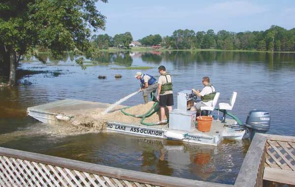
• Clyde’s Crossing, N31 37.937’ x W93 40.036’, 23 yards of pea gravel placed around fishing pier, approximately 1/10-acre of bottom coverage, Rebecca’s Landing.
• Megastructure No. 1, N31 11.895’ x W93 34.505’, large one-piece structure made from 1 ¼ -inch PVC pipe, 16 feet long, 11 feet wide and 8 feet tall. The structure holds 400 plastic feed pallets. South Toledo Bend State Park.